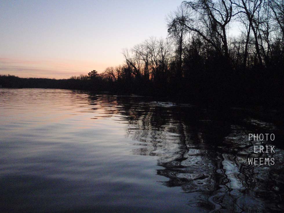
James River - Dutch Gap Conservation Area
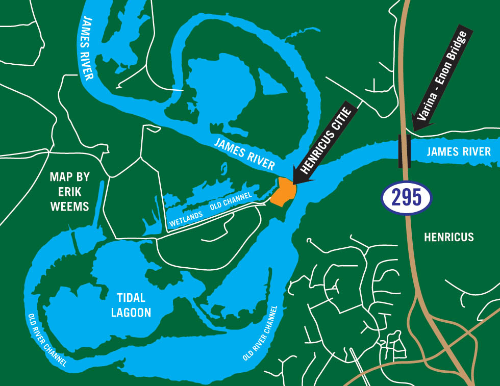
Four major channels of water form a crossroads at Dutch Gap, all of them derived from parts of the James River broken up by lagoons and alternative flow patterns caused by centuries of changes in the river landscape.
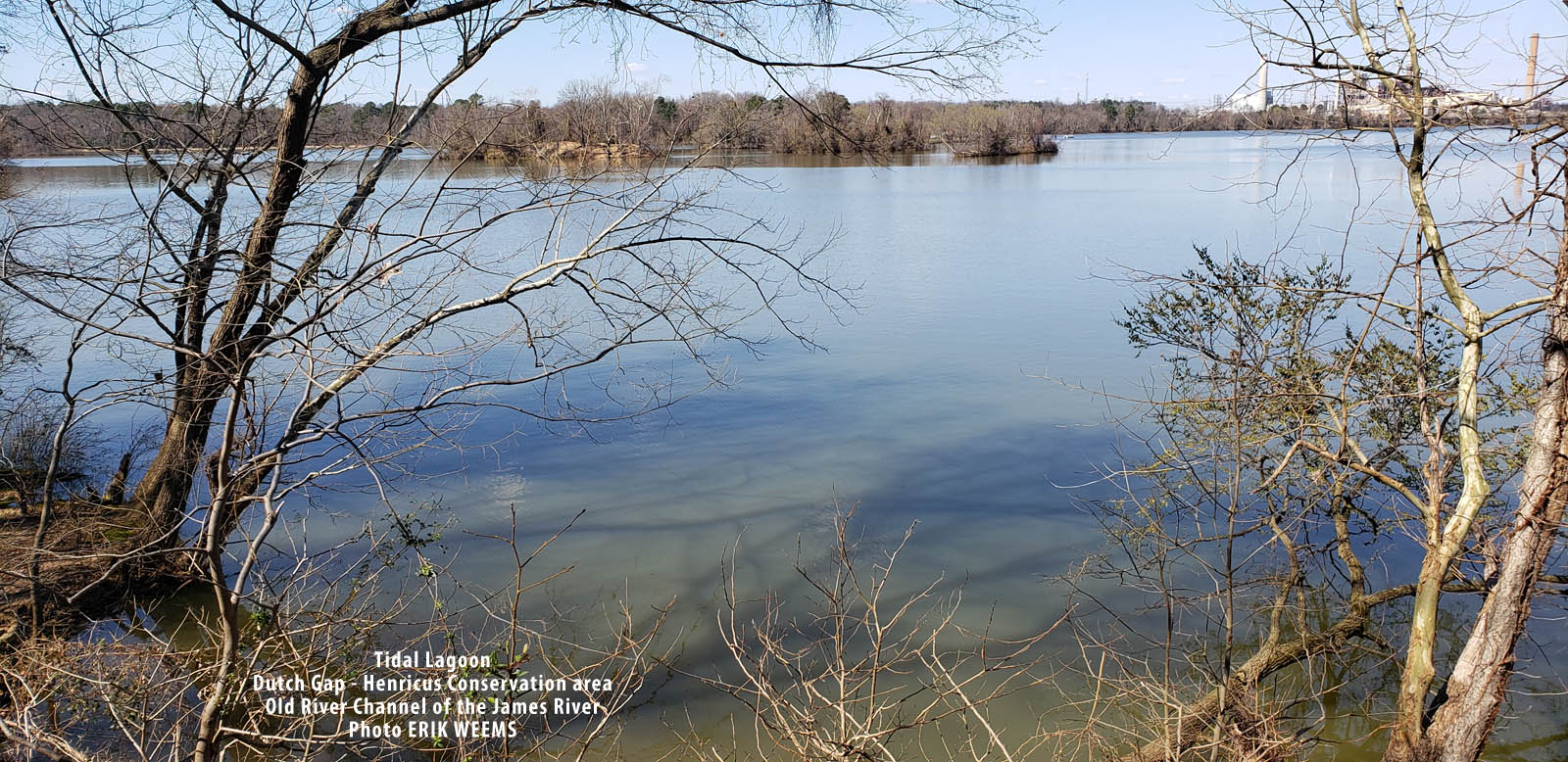
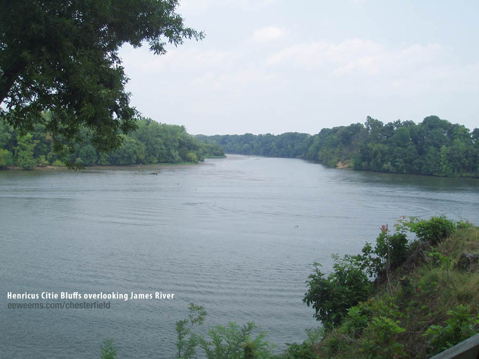
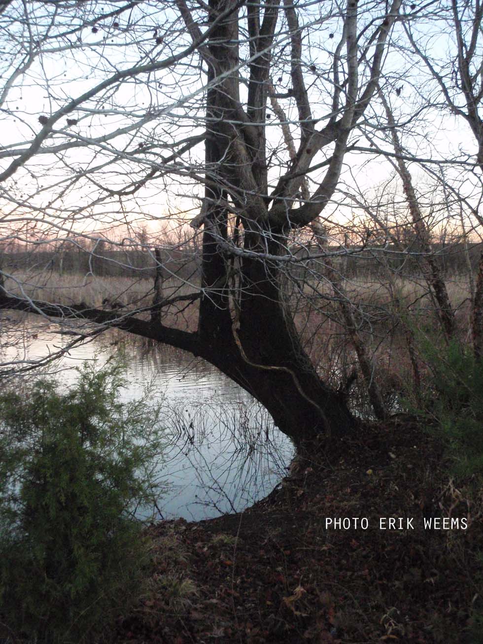
Tidal lagoon at Dutch Gap - Citie of Henricus Conservation Area
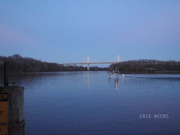
More of the Varina Enon Bridge
AMAZON: Old Dominion, New Commonwealth: A History of Virginia, 1607–2007
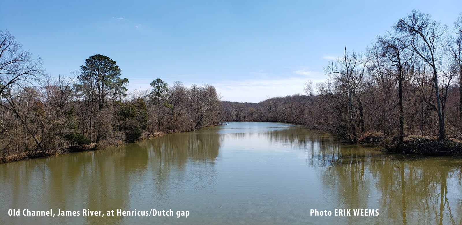
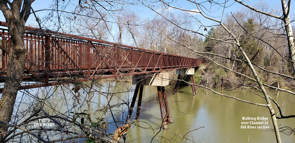
At the channel area of Henricus, formerly an active part of the James River